The map in the upper left corner of the screen is centered on the unit.
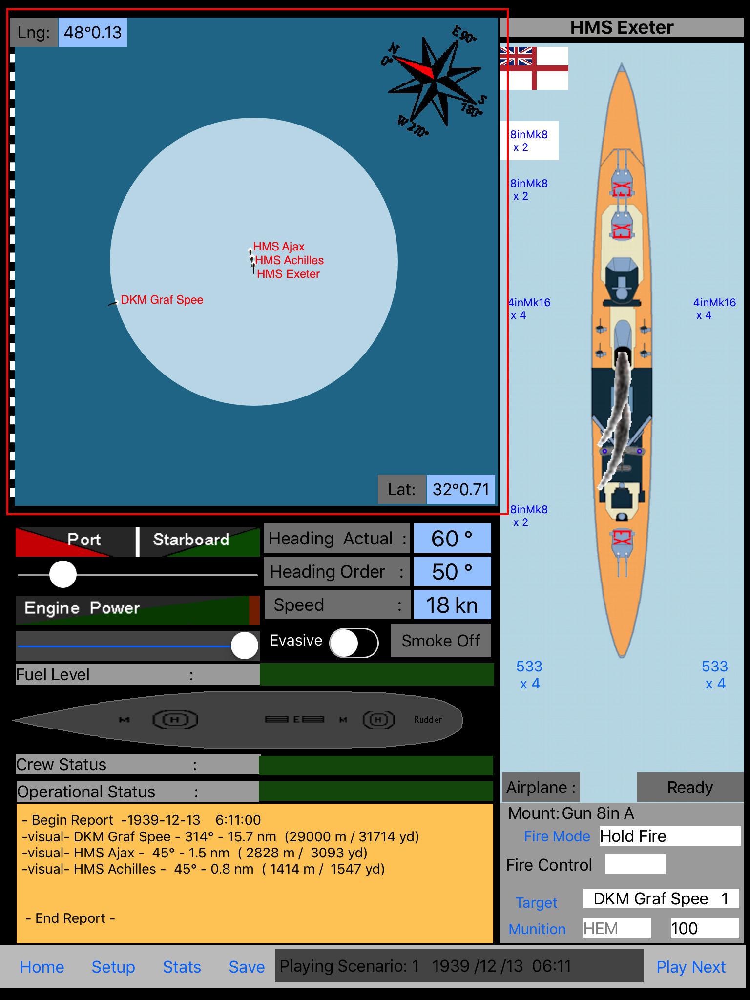
It is zoomable and there is a scale on the left side. The boat previous course is the black line and the white mustache is seized according to the speed.
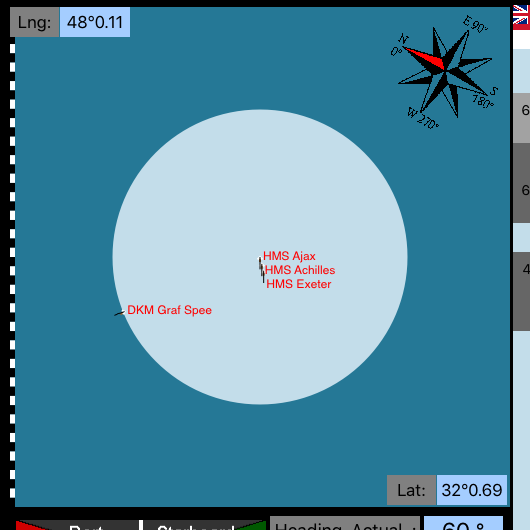
Each bar is 1 nm (nautic mile). There is a compass providing directions and north alignment. The longitude (Lng) and latitude (Lat) are provided in the degree / decimal format.
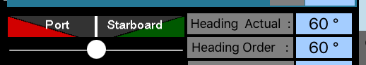
The Heading cursor is below the Port / Starboard boxes. As you are displacing the cursor you will see the Heading order updated. The Heading order will be the unit direction at the next turn. Heading actual is the current heading.
![]()
The second cursor allows you to control the power. The speed up or down will be delayed due to the inertia of the boat. Boat speed are in nautical knots (kn), one knot of speed is one nautical mile per hour. Based on the power setting the Fuel level will decrease over time.
Evasive steering is controlled by a switch. When on, the boat will have a zigzag course. This was done to throw off the enemy gunnery and was quite efficient above a certain speed (~15 kn).